Next case
Previous case
Pitch
Our proposal places 60.000 daily vehicles in a tunnel along the Åboulevard line, freeing up to much needed space for climate adaptation, urban nature, and public life. By re-introducing the water narrative of a forgotten river and prioritising people over cars, the boulevard re-emerges a continuous, shared landscape.
Download Press Package
From Barrier to boulevard

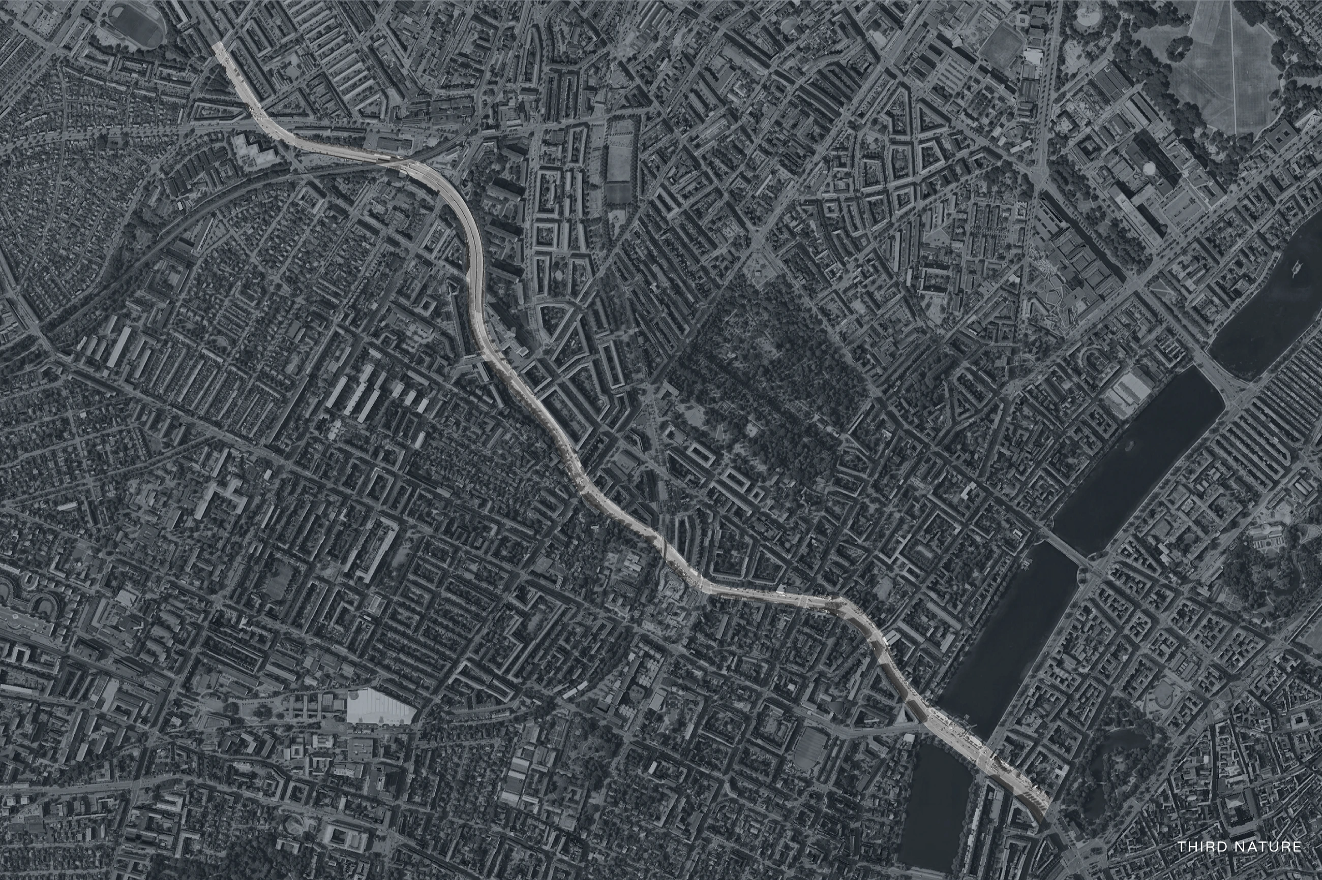
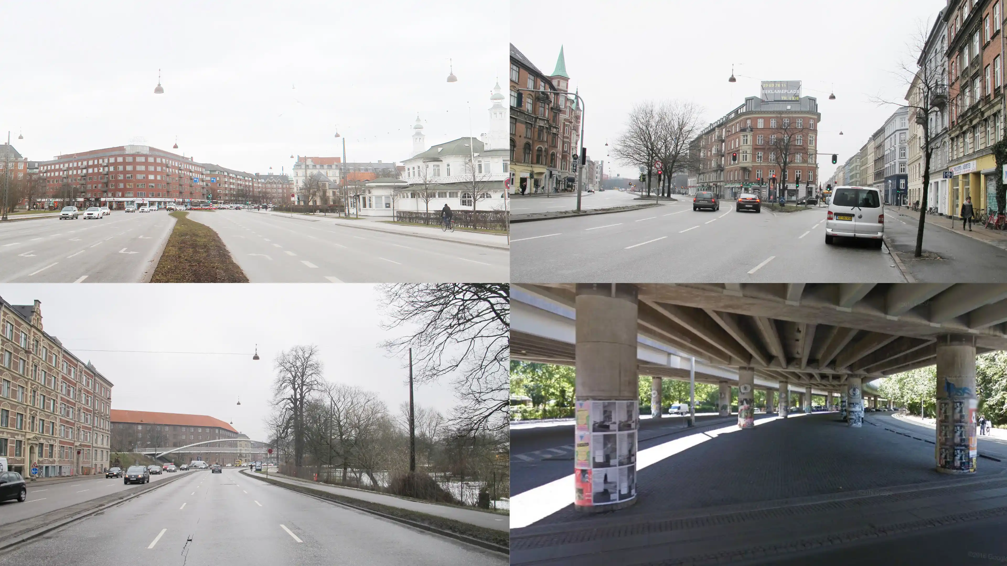
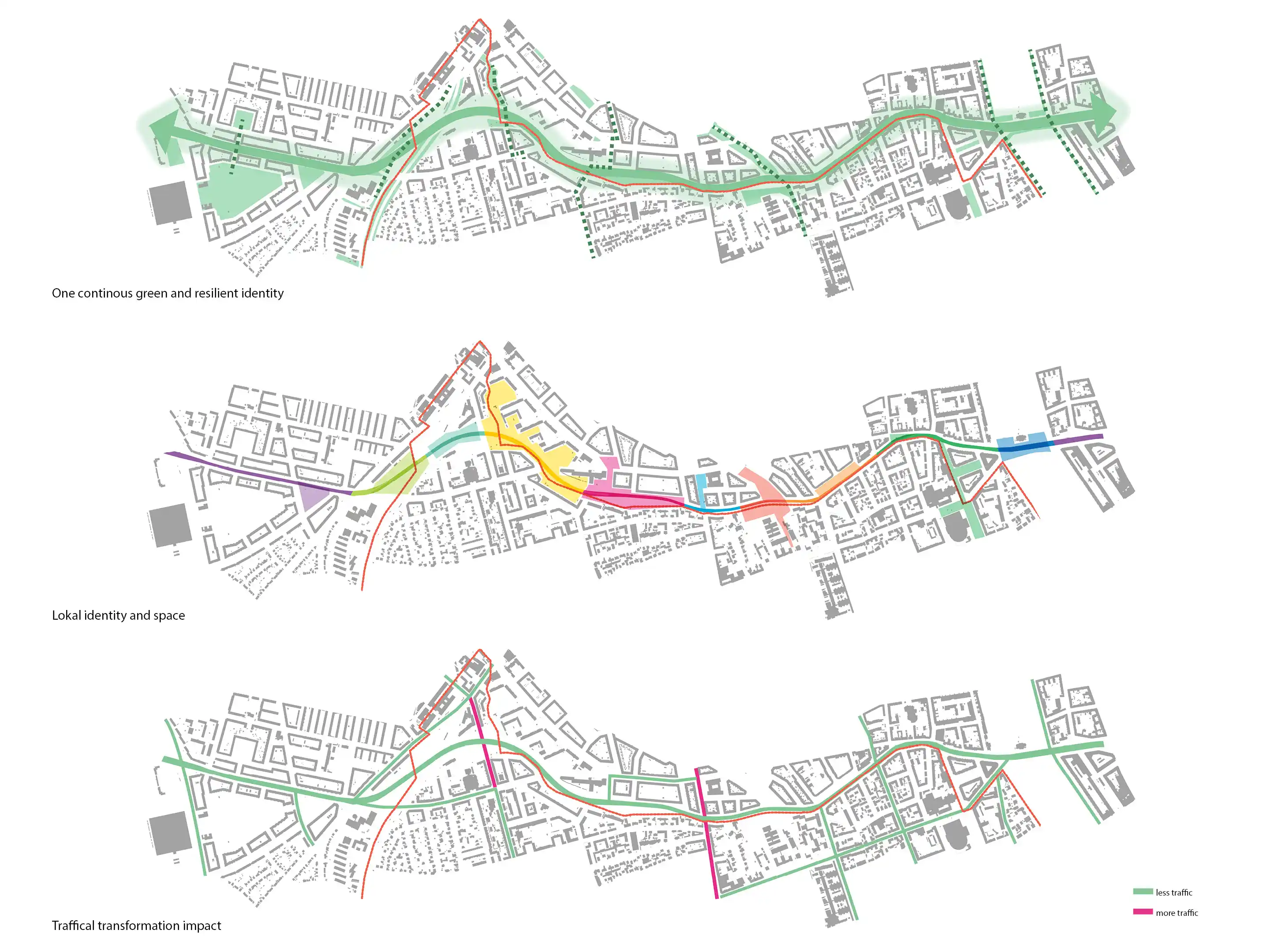
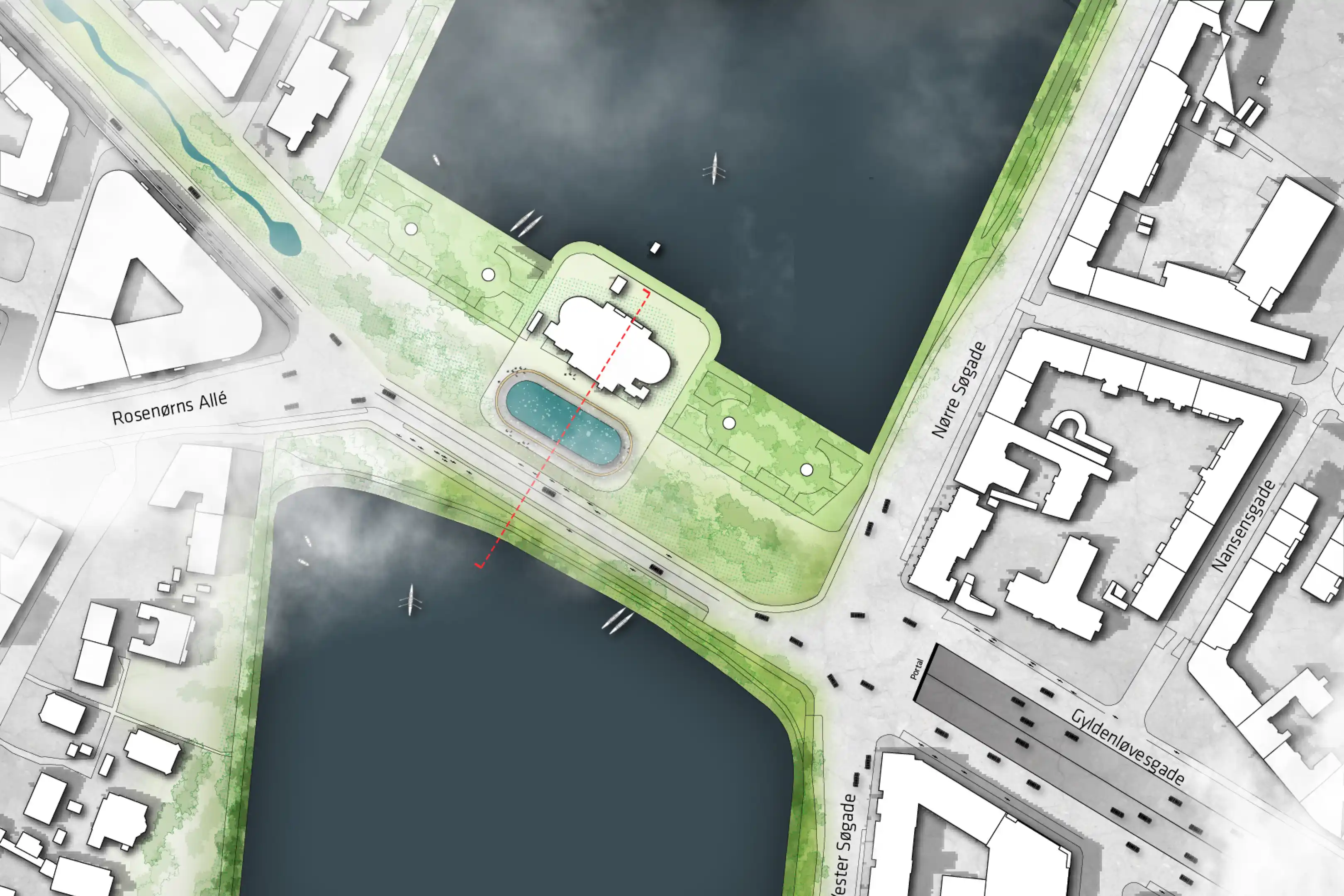
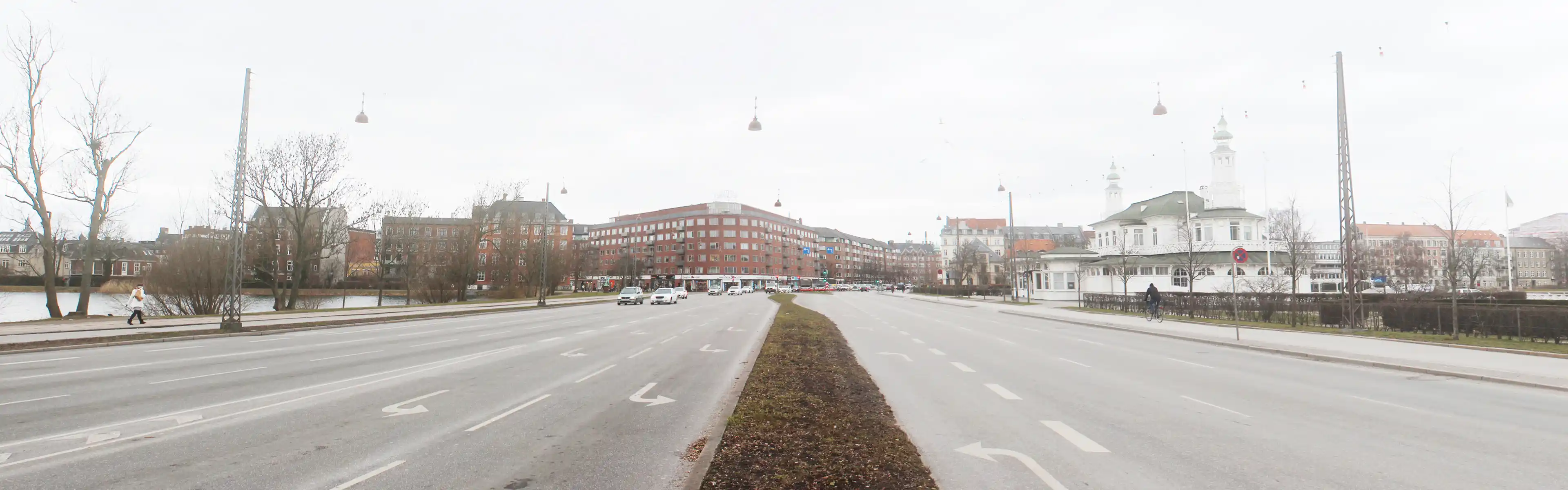
Åboulevard today reads as a high-speed access road rather than a civic space. With 55,000–60,000 vehicles daily, buildings turn their backs to the corridor and fences, sound walls, and planting reinforce a hard boundary between Frederiksberg and Nørrebro. Around Bispeengbuen, the urban fabric dissolves into an in-between zone that few choose to occupy.

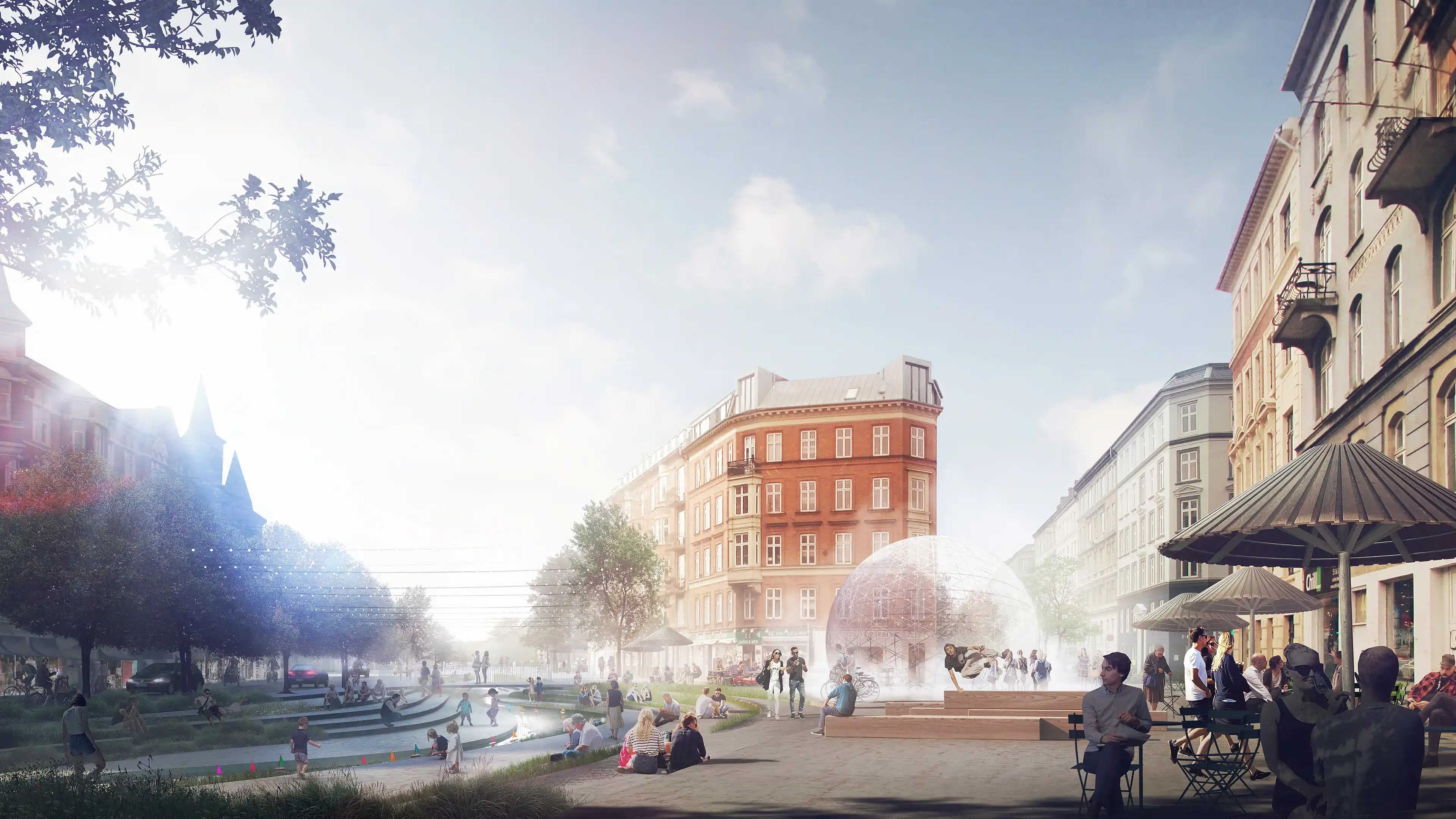
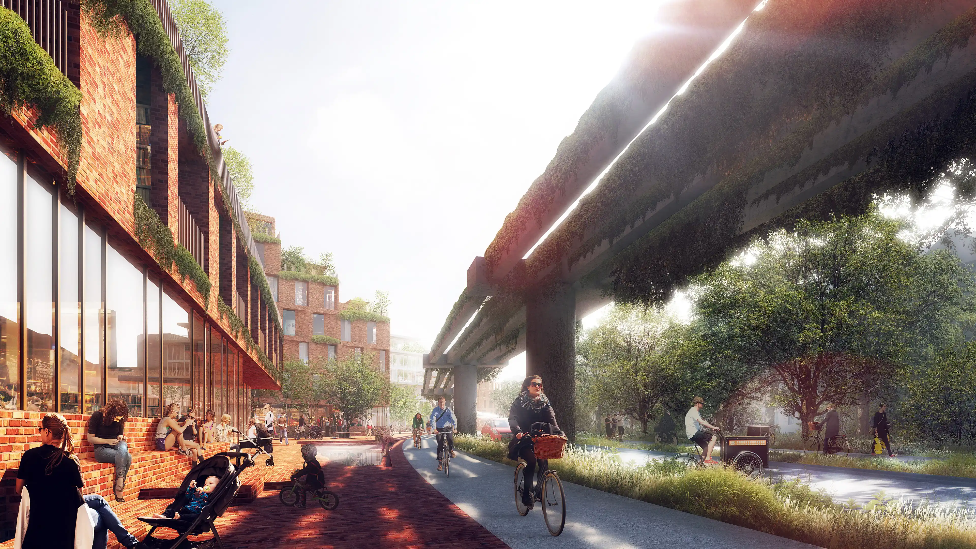
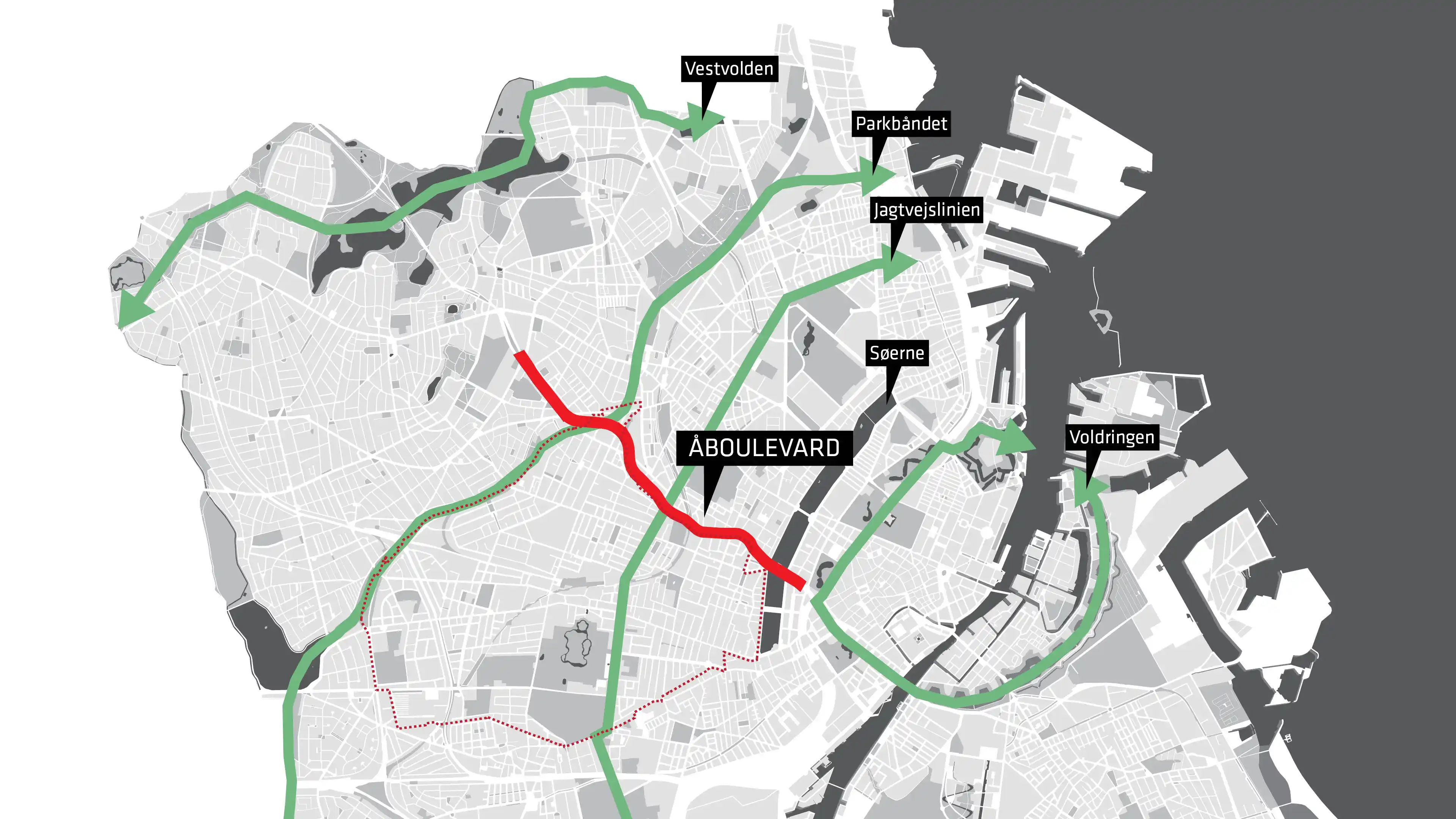
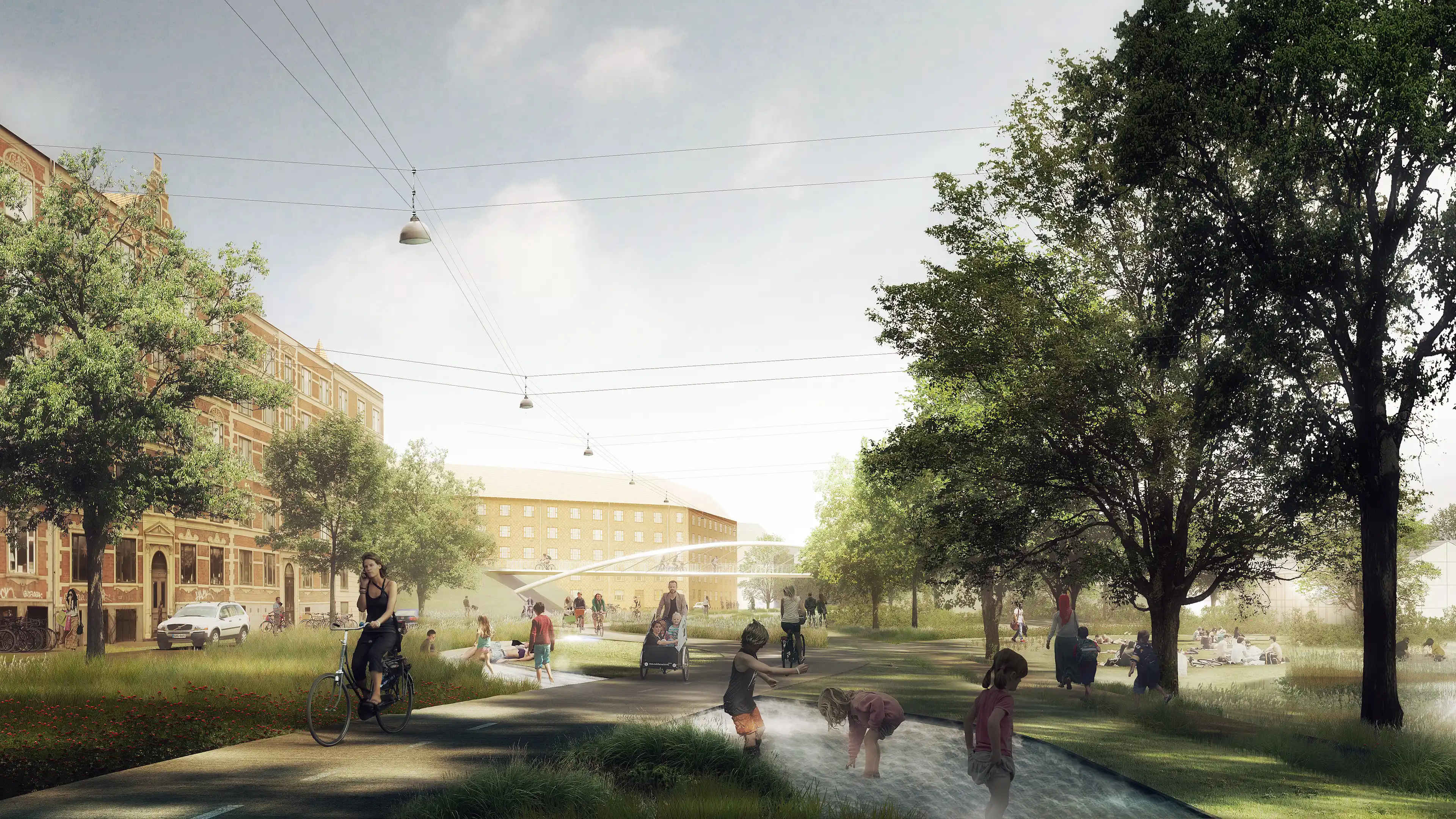
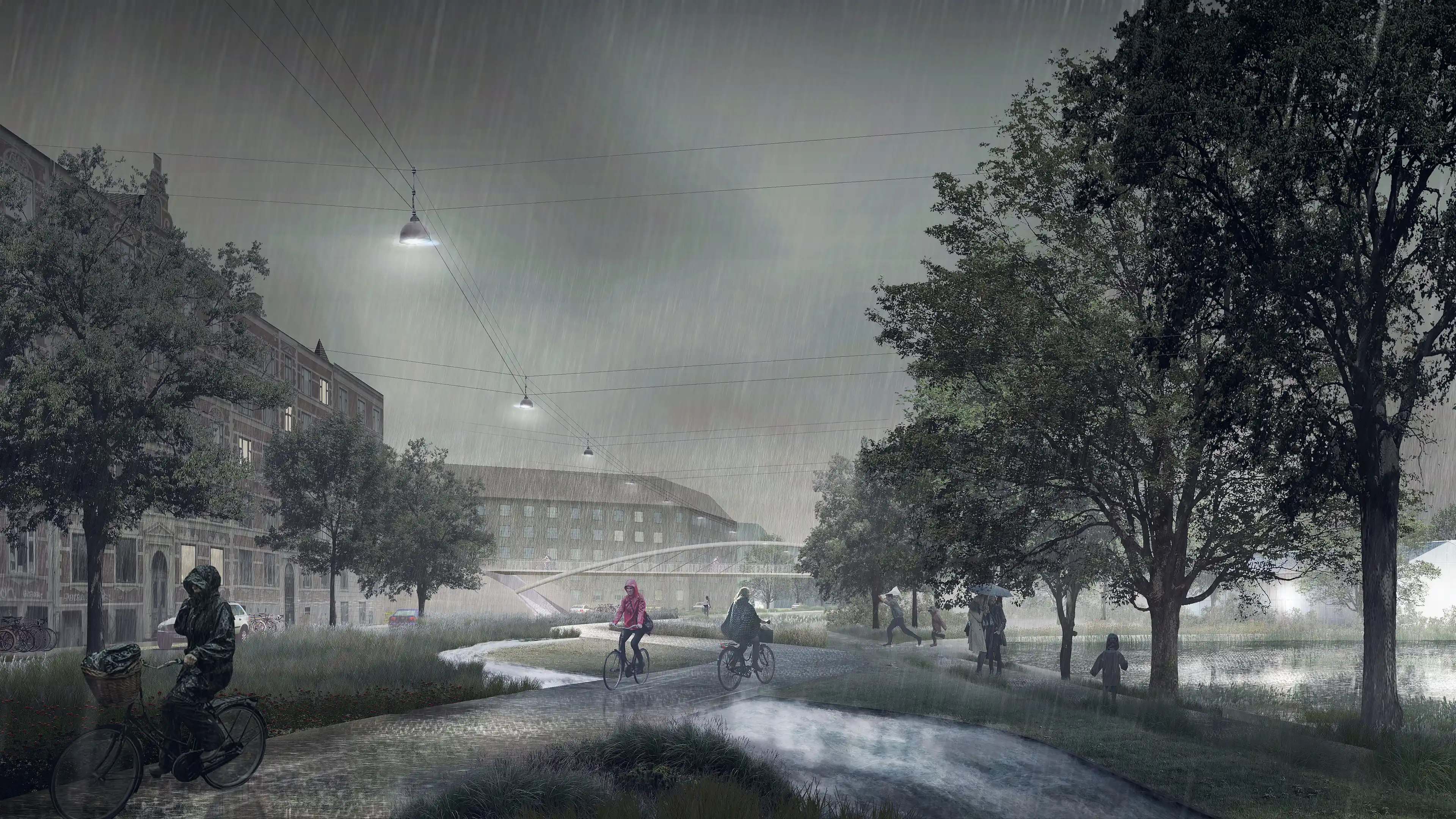
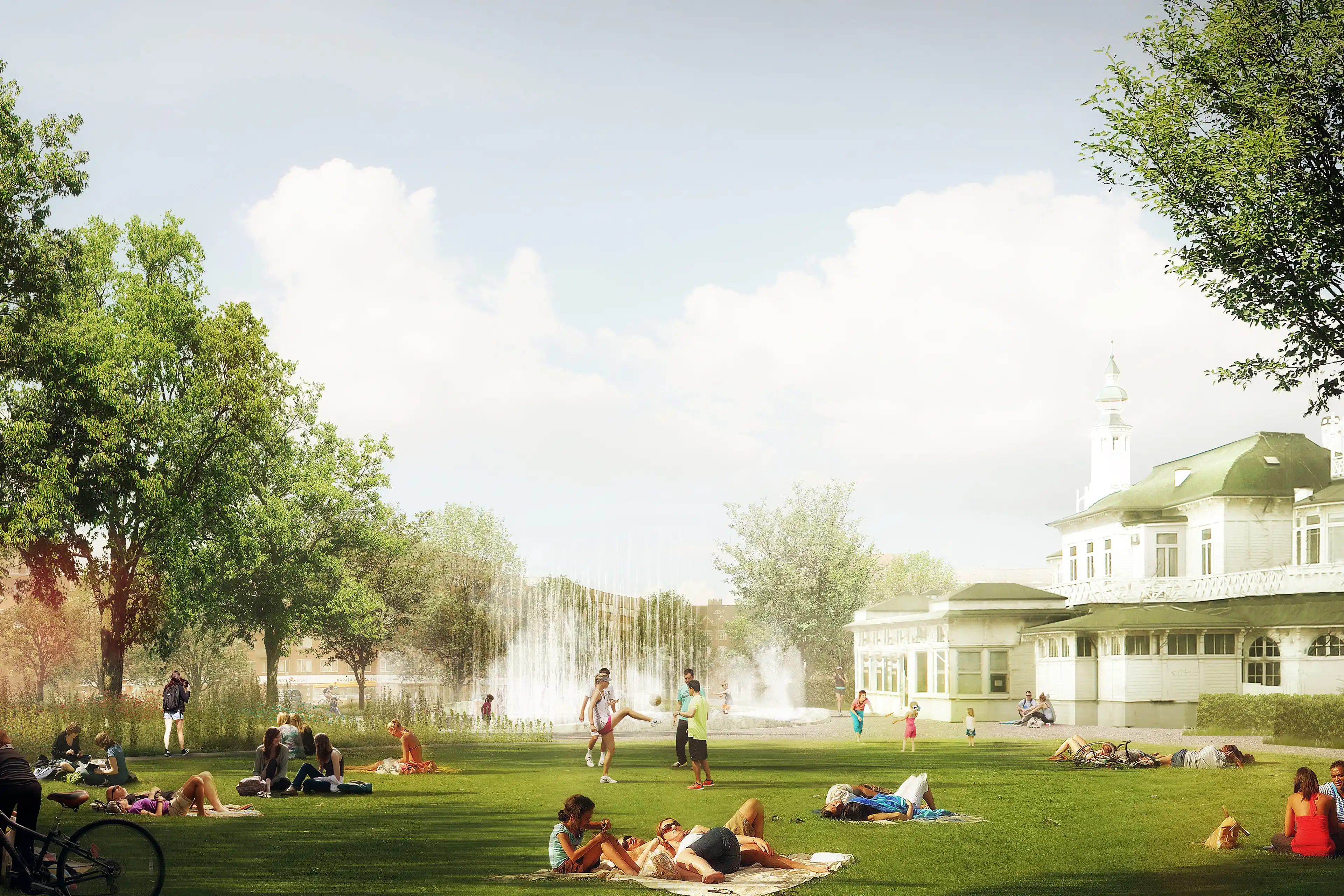
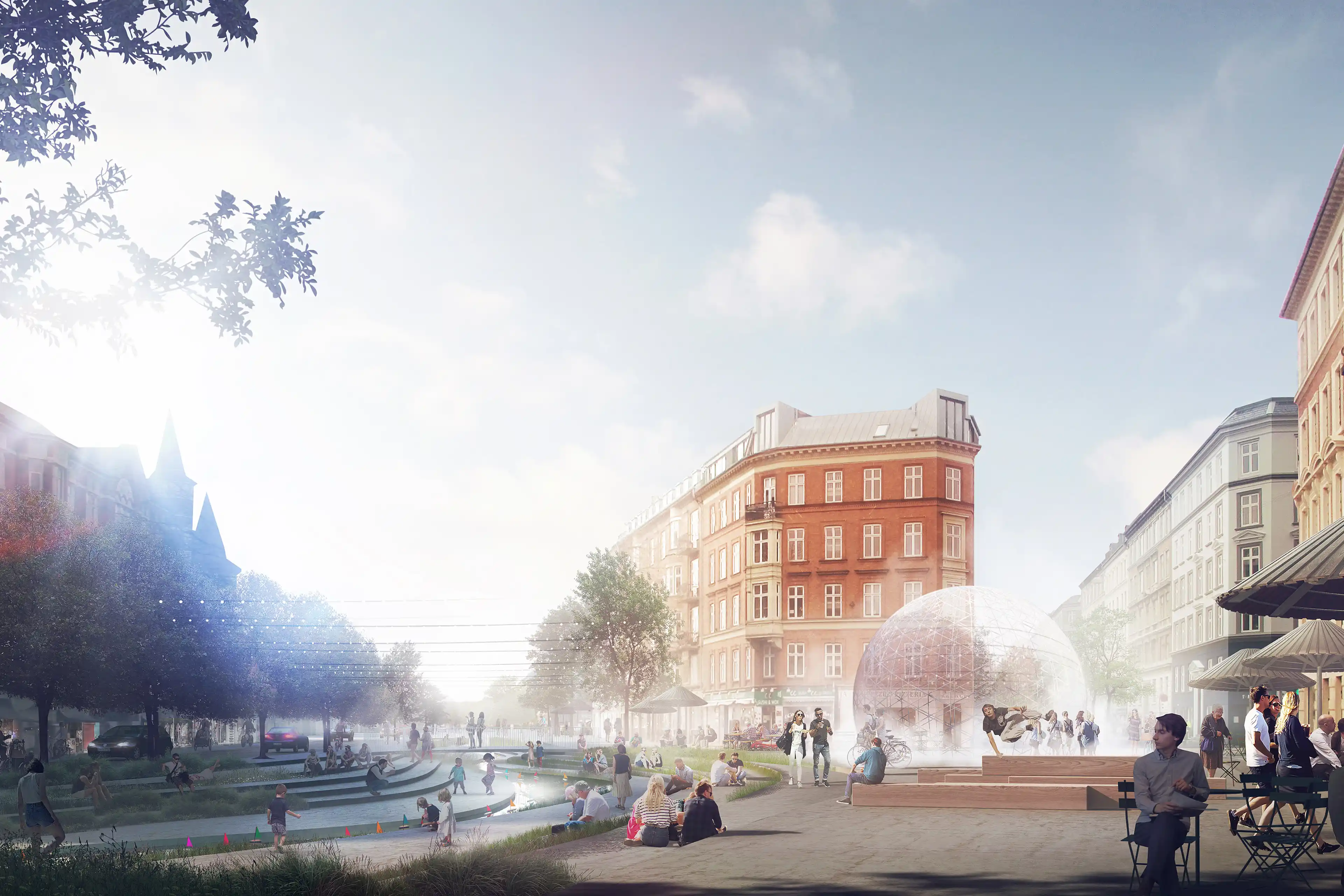
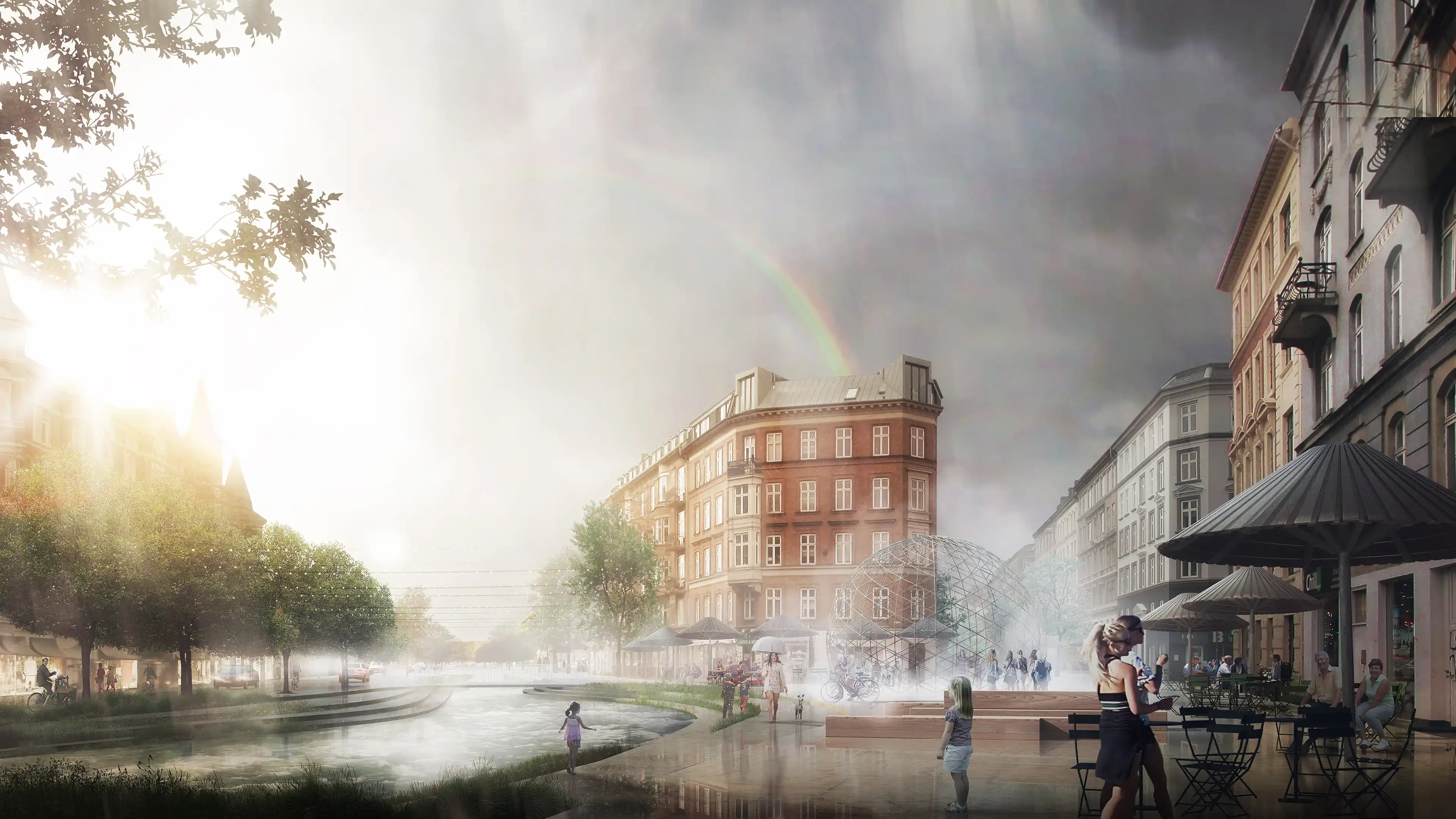
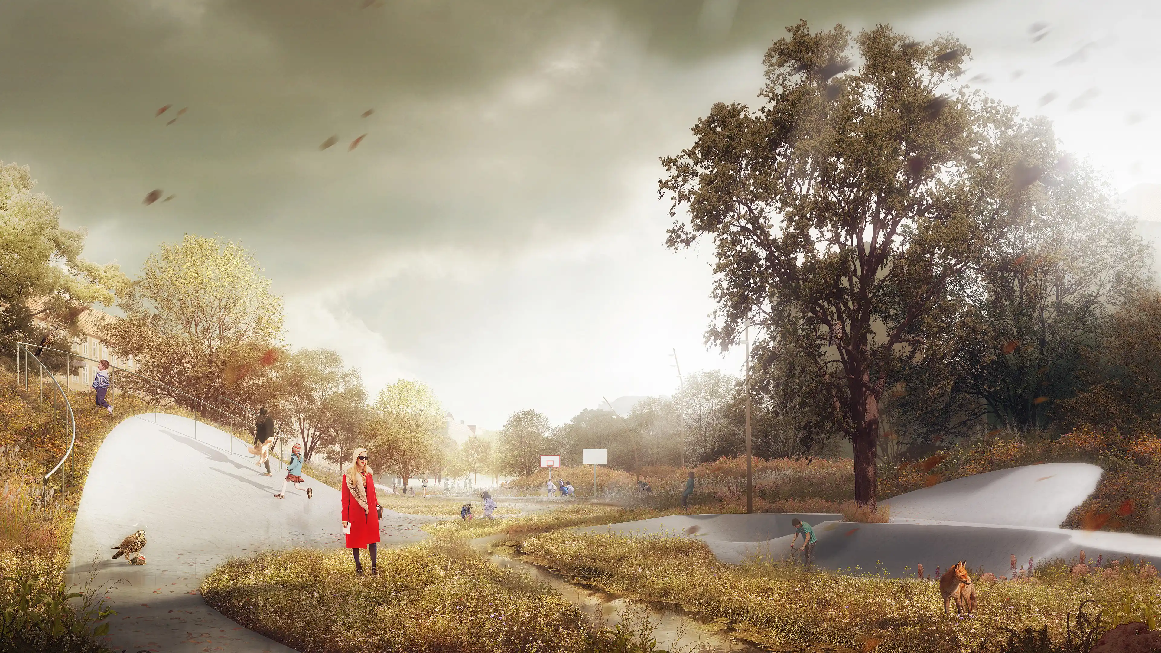
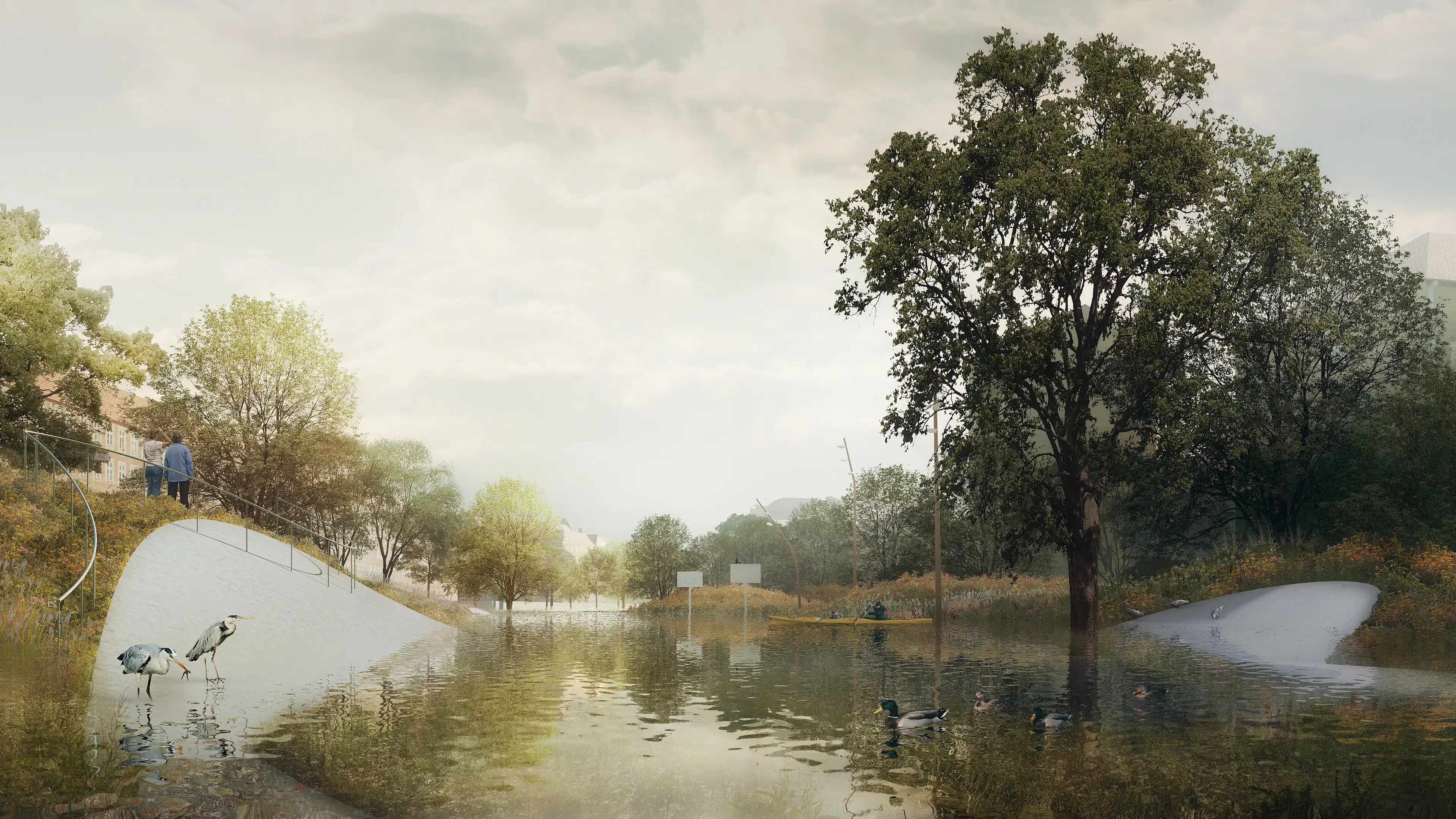
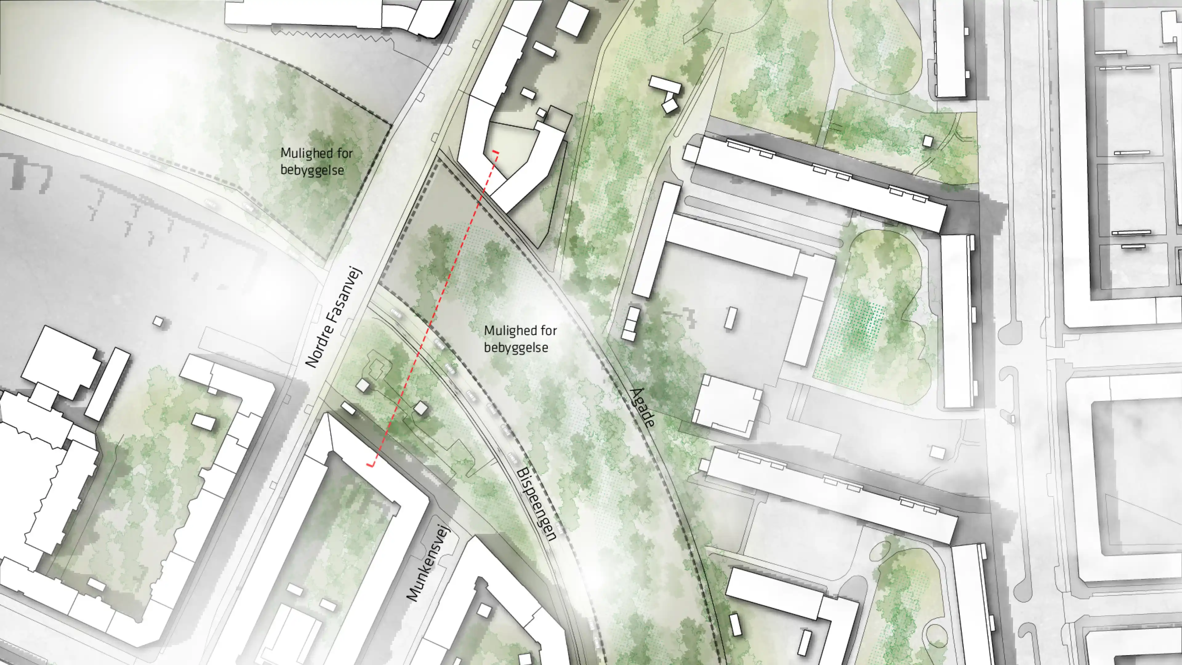
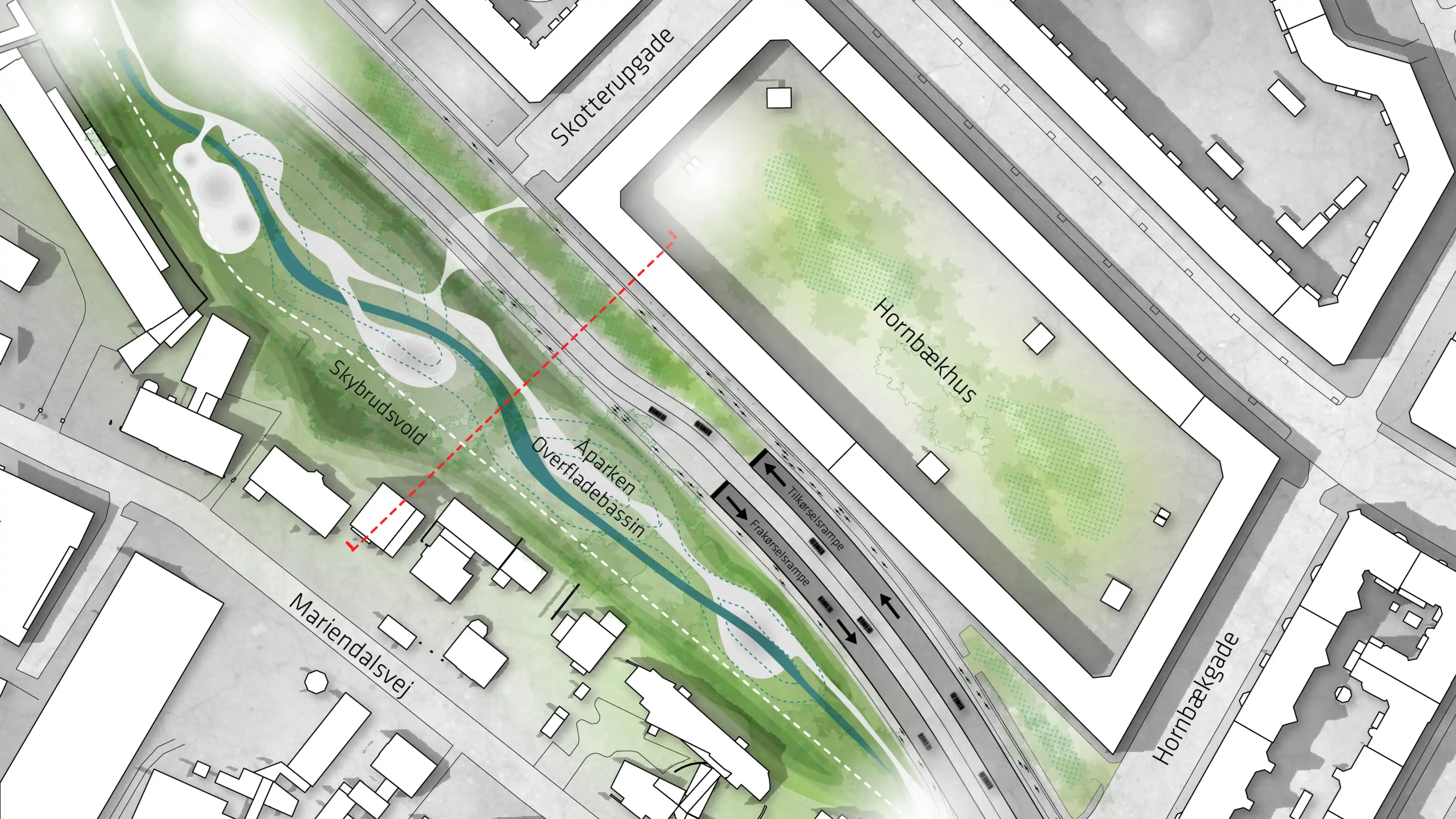
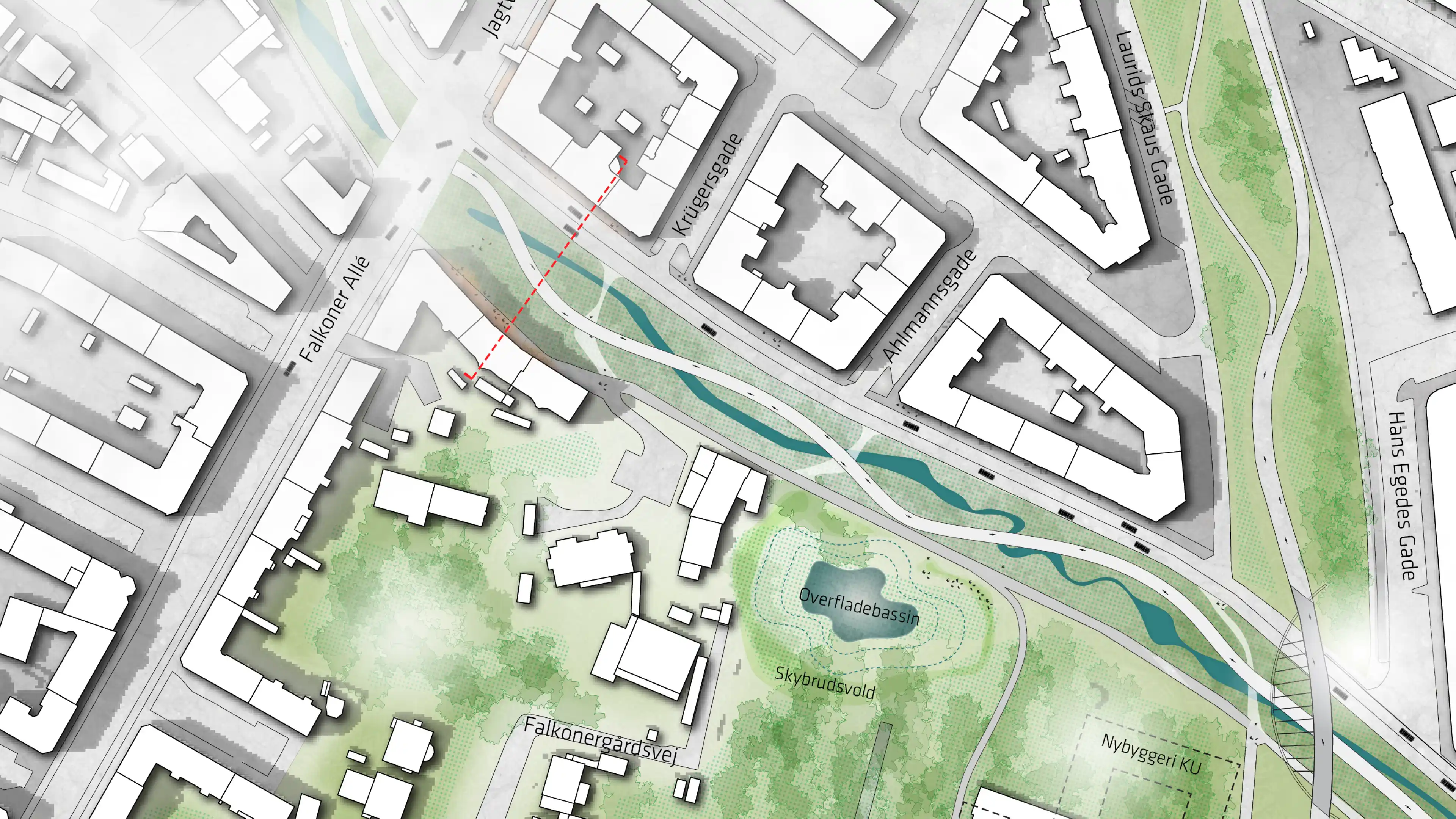
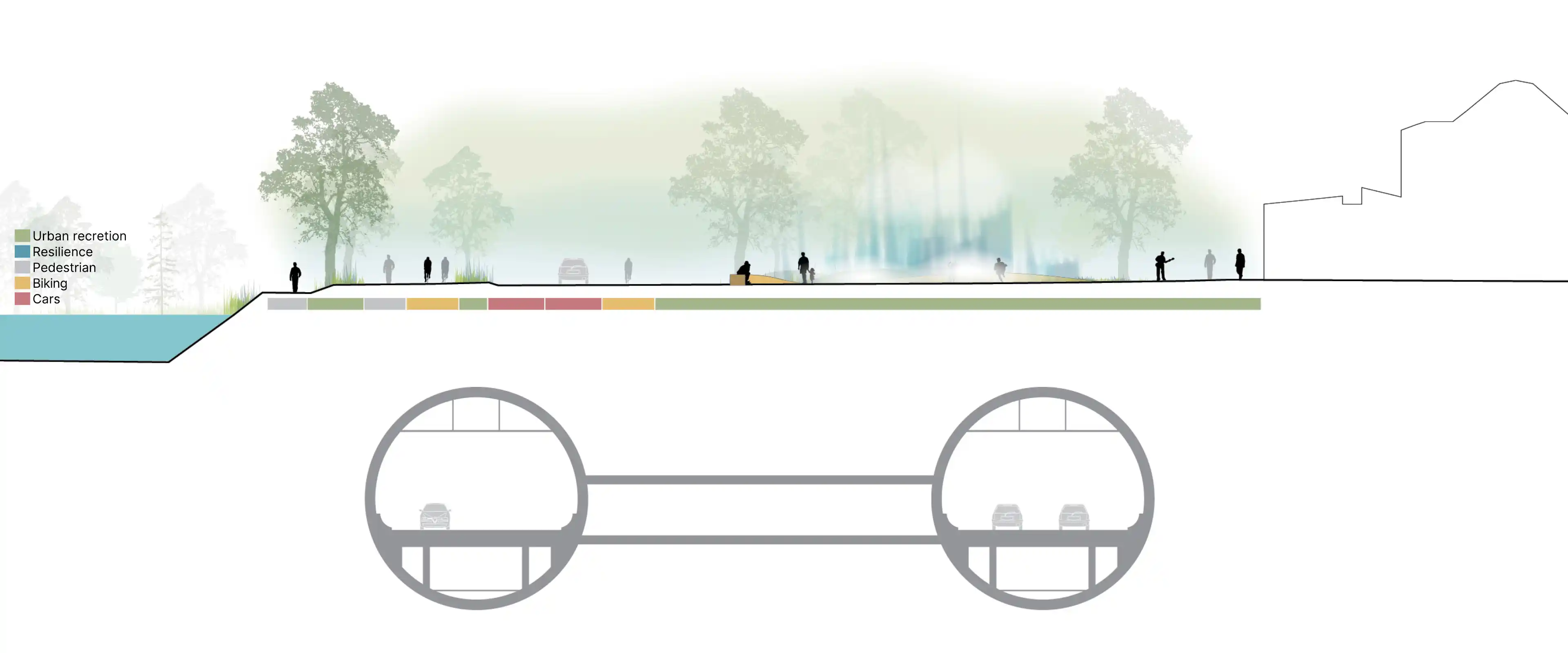
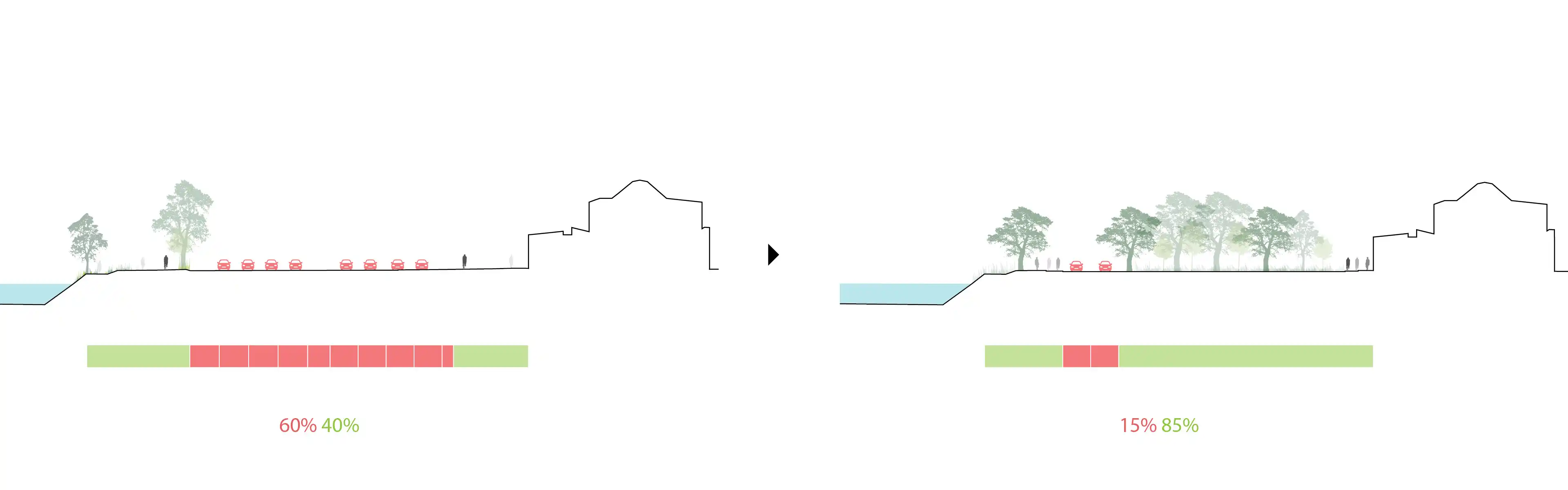
The transformation puts the bulk of through-traffic into a tunnel along the Åboulevard line. This move frees the surface to serve people first, unlocking up to 115,000 m² (roughly the size of the Botanical Garden) for public life, climate adaptation, and soft mobility. The street becomes a legible, continuous sequence of places rather than a municipal dividing line.

At grade, buildings, courtyards, and ground floors reorient toward the boulevard. Edge zones become active thresholds where life at eye level unfolds, shops, workshops, cafés, and community functions, to stitch neighbourhoods back together along a calm, green address.

60 %
Traffic reduction
Up to 60% expected of surface traffic is relocated to the tunnel.
Key numbers
No items found.
Blue–Green identity

Water is the backbone of the new identity. Daylit channels and recreational basins bring the story of Ladegårds Å back into everyday life while managing rain from frequent events to cloudbursts. Climate adaptation moves from hidden pipes to visible, educational, and delightful urban nature.

A diverse planting strategy improves the microclimate: shade, evapotranspiration, and reduced heat absorption from less asphalt mitigate the urban heat island effect. Vegetation filters particulates and dampens noise, making the boulevard a healthier place to live, linger, and move through.

Neighbourhood-specific spaces, sunny squares, play and sport pockets, quieter gardens, are tailored to local patterns and needs. Green edge zones connect side streets and courtyards into the new landscape, creating stronger longitudinal and transverse routes for walking and cycling across the former barrier.

Connected mobility, everyday life & societal value

The mobility strategy balances access with liveability. The tunnel handles most through-traffic, allowing a 50–60% reduction of surface traffic to levels comparable with Amagerbrogade and Gl. Kongevej. Åboulevard remains open for local access and reliable public transport, with improved crossings and continuous bike infrastructure.

Better streets yield better homes. As noise and pollution fall and proximity to high-quality public space rises, apartments along the corridor gain in amenity and value. Active ground floors can multiply, supported by calmer frontage conditions and steady footfall from walking, cycling, and transit.

Implementation is guided by robust public-space principles: blue–green systems sized for drought and cloudburst, legible connections across the corridor, and adaptable place typologies that can be delivered in phases. Together, these moves turn a traffic corridor into a resilient civic spine where water, climate, nature, housing, and urban life work as one.

Contact the team

General inqueries
Open external browser tap
No items found.
Project information

Client
City of Copenhagen and Frederiksberg Municipality

Location
Åboulevard, Copenhagen & Frederiksberg, Denmark

Type
Strategic feasibility study

Role
Urban design and landscape strategy, blue–green infrastructure, public-space framework

Team
Third Nature and COWI

Period
2016

Status
Vision / feasibility phase